Salford

Cross Lane Bridge Station

Information sign standing in front of the underpass entrance, showing local directions and map, with the road and rail bridge above
© Manchester Histories

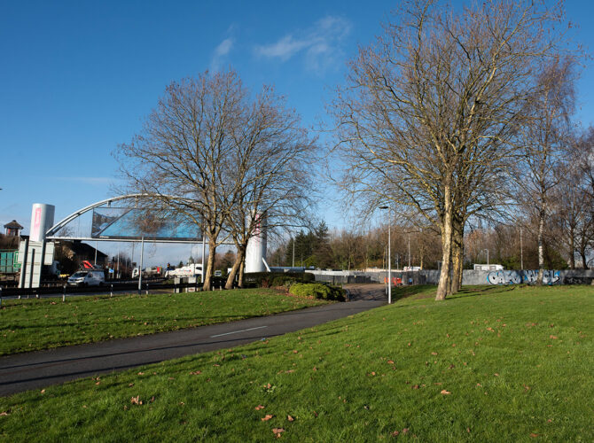
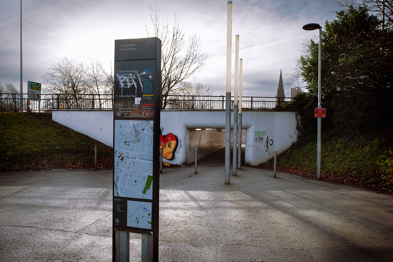
Beneath the roundabout.

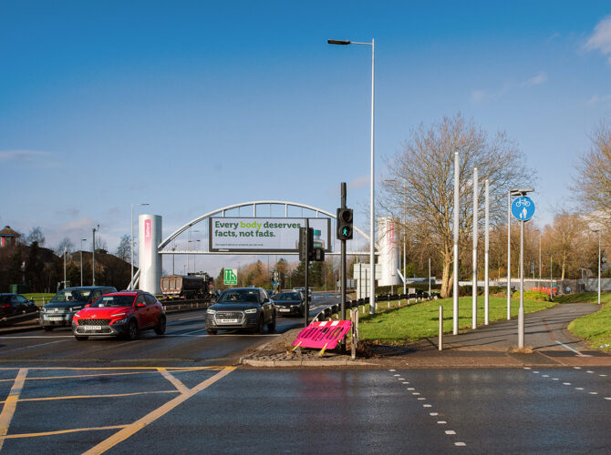
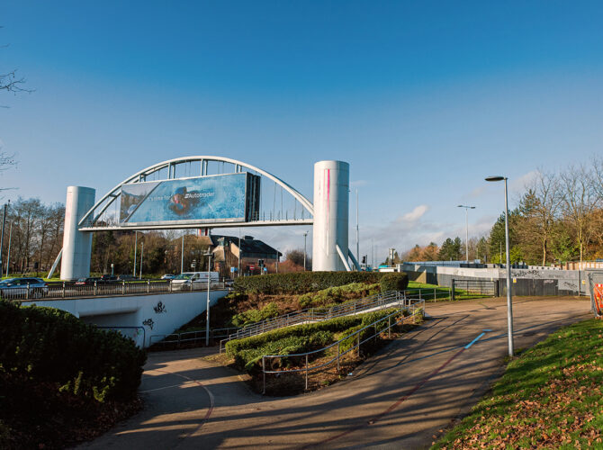
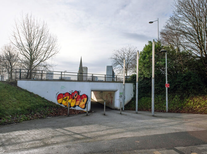
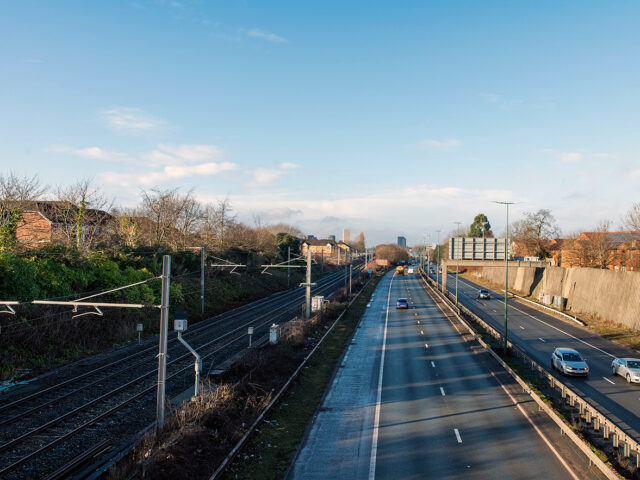
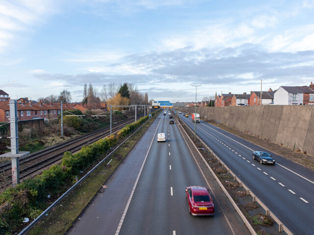
Cross Lane station once stood in Salford, on the line now running beneath the busy junction where the M602 becomes Regent Road. Today the site is dominated by a large roundabout, landscaped verges and modern road infrastructure, but the railway still passes below in a cutting, hidden behind concrete walls and screened from view.

The station opened in the mid-19th century as part of the early railway expansion serving the industrial districts west of Manchester. It sat close to street level, with platforms alongside the line as it passed under Cross Lane. Like many small urban stations, it provided a local stopping point rather than a grand architectural presence. It closed in the early 20th century, as services were rationalised and nearby stations took on a greater role.

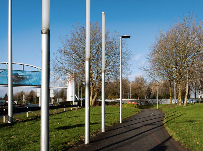
Very little of the station itself survives. The railway remains active, but the surrounding landscape has been reshaped several times. Road improvements and the construction of the present roundabout have altered ground levels and sightlines, enclosing the line within a deep cutting lined with modern concrete.

Why it matters

Cross Lane station reflects a period when railways were closely woven into the fabric of everyday urban life, with frequent stops serving dense neighbourhoods and industry. Its disappearance shows how transport priorities have shifted over time, from rail to road, and how infrastructure can be layered and reworked rather than entirely removed.

The survival of the railway beneath the junction is a reminder that even when stations vanish, the routes they served often continue in use, adapted to new demands.

Interesting stories

Although little physical evidence remains, historical records show that Cross Lane was one of several closely spaced stations in the area, illustrating how intensively the railway once served Salford. Its closure came relatively early, suggesting changing patterns of travel and competition between nearby stops.

The transformation of the site into a major road junction marks a dramatic change in how the space functions, from a place of local access and movement by rail to one dominated by fast-moving road traffic overhead.

What to look out for…

Most of the station is no longer visible, but the railway still runs beneath the roundabout. High concrete retaining walls now line the cutting, largely blocking views of the bridge and track from street level. From surrounding paths and open spaces, you can trace the line of the railway by the dip in the landscape and the alignment of the walls, even if direct views are limited.

Look for the way the ground falls away towards the hidden line, and how the modern road layout sits above it. The contrast between the landscaped verges, pedestrian routes and heavy traffic above hints at the layers of infrastructure occupying the same space.

This content is adapted from:
http://www.disused-stations.org.uk/c/cross_lane/index.shtml

Explore related content

View from Gore Booth Bridge showing a railway line running parallel to a busy dual carriageway, with houses on one side and a high retaining wall on the other, marking the area where Seedley Station once stood
Salford

Seedley Station

A lost station at Seedley. Seedley Station once stood along the Liverpool and Manchester Railway in...