Salford

Gore-Booth’s Bridge

View of the road approaching the crossing with painted markings and traffic cones in place
© Manchester Histories

A link to women’s suffrage and labour rights.

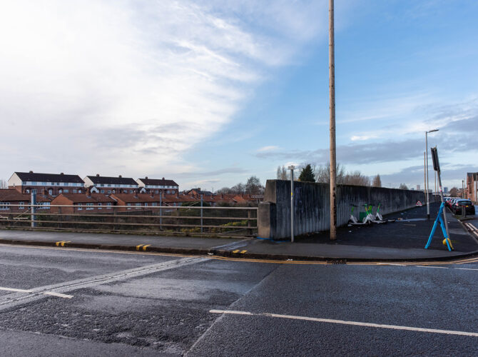
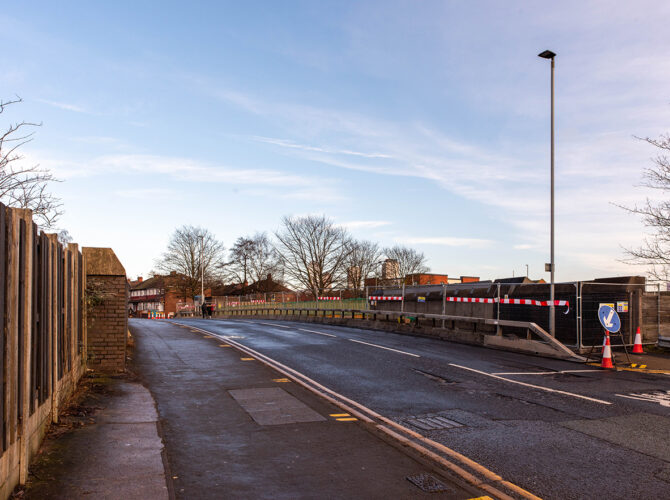
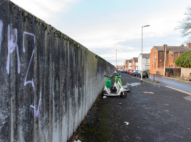
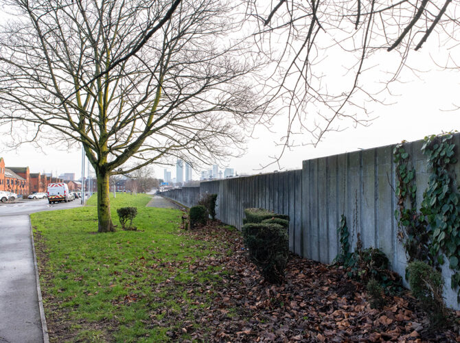
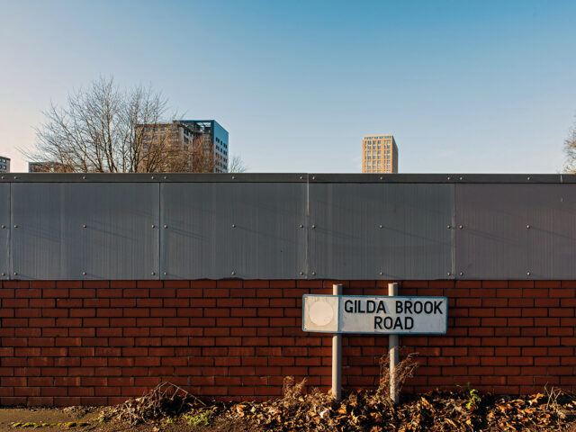
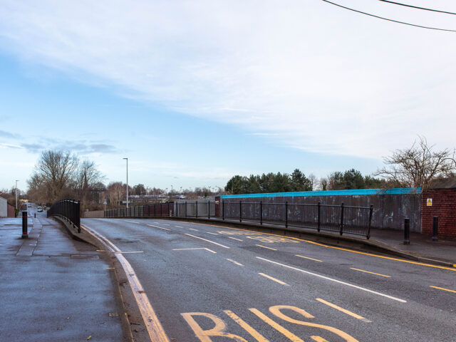
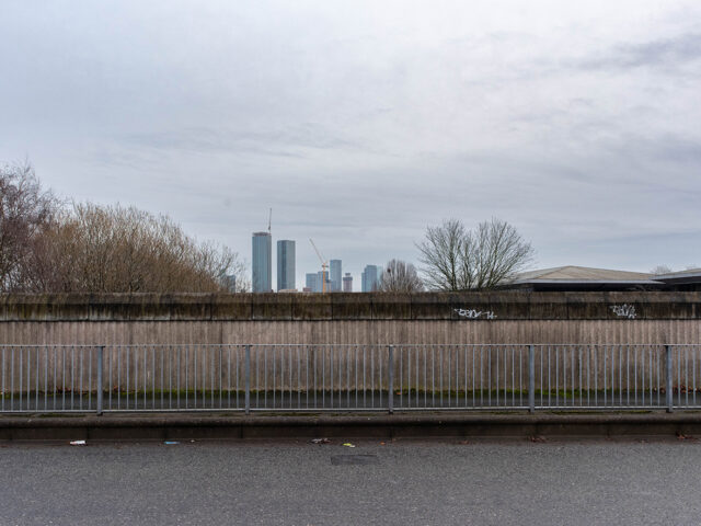
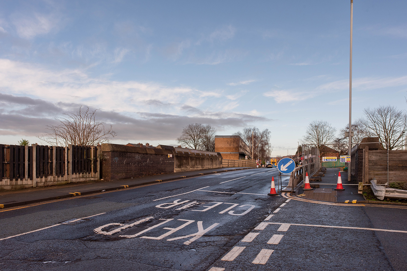
Gore Booth’s Bridge once stood here, carrying a road over the Liverpool and Manchester Railway. The original structure has been replaced, and what you see today is a modern road bridge with concrete sides and metal railings. The surroundings are now built up with housing and industry, but this crossing still follows the line of an older route that pre-dates the railway.

Why it matters

Bridges like this were vital to the success of the railway. When the line was built, it cut across existing roads and tracks, so crossings had to be provided to keep people, goods and communities moving. Even though the original bridge has gone, the route it carried still shapes how people move through this part of Stretford today.

Interesting stories

Early maps suggest this crossing may originally have been known as Gorton’s Bridge, hinting at a different local name before Gore Booth became established. The same map shows the bridge linking a rural lane between Broomfield Cottage and a small row of houses called Trafford Park View. At the time, this was open countryside with only scattered development.

The later name connects the site to the Gore Booth family, a prominent Anglo-Irish landowning family. While the exact link between the family and this specific bridge is not fully clear, the naming suggests an association with land ownership or local influence during the early nineteenth century.

One of the most notable members of the family was Eva Gore-Booth, who became closely linked with Manchester. She lived and worked in the city in the early twentieth century, campaigning for women’s suffrage and labour rights. She was active in trade union organisation and supported women working in local industries, placing her at the heart of Manchester’s reform movements.

What to look out for…

Look at how the road rises as it crosses the railway, following the same alignment as the earlier bridge. The modern parapets and railings mark the replacement structure, but the route itself is much older. From the bridge, you can also spot how the landscape has changed, with streets and buildings now filling what was once open land.

This content is adapted from:
https://historicengland.org.uk/listing/the-list/

Explore related content