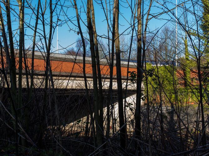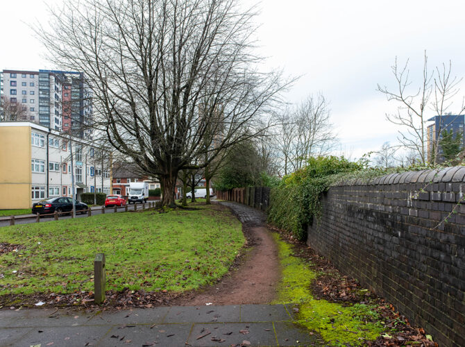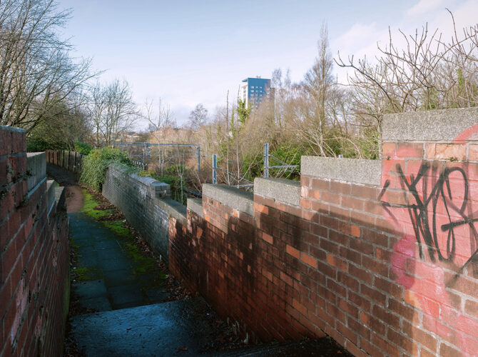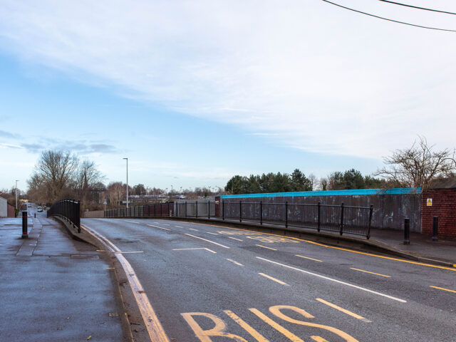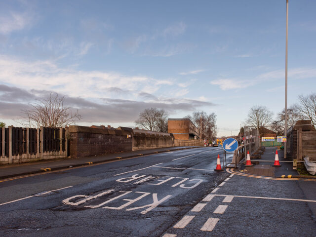
A working brook.
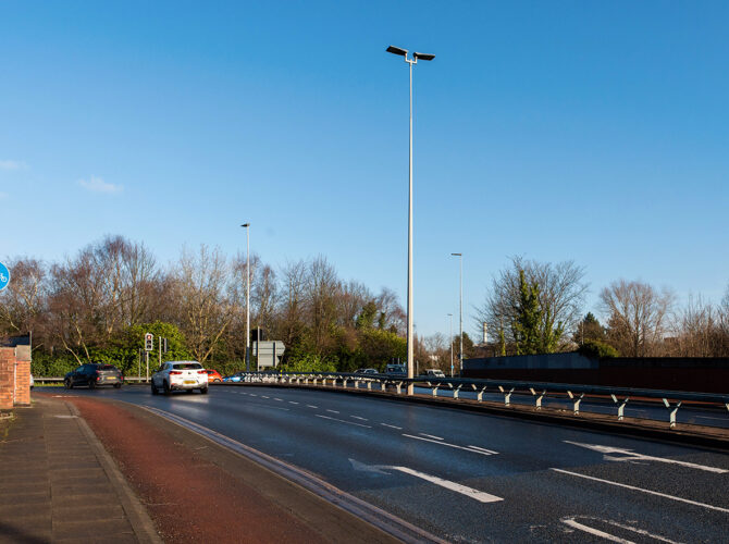
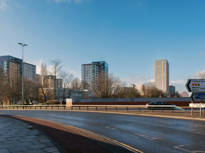
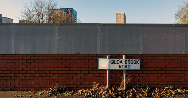
Whitaker’s Mill Dam once lay beside the line near Gilda Brook, close to where the railway cuts across this part of Salford. It formed part of a small industrial landscape of water, banks and buildings that existed before the railway arrived.
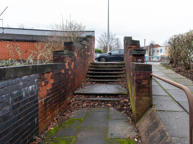
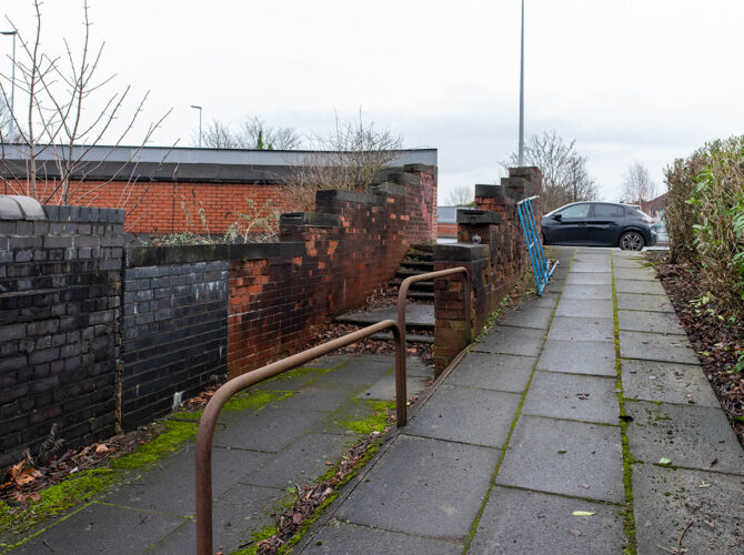
Today, there is no visible trace of the dam. The area has been reshaped by roads, housing and later development. What remains is the name of Gilda Brook and a general sense of the low-lying ground that once held managed water.
Why it matters
Before the railway, this was a working landscape powered by water. Dams like this were used to control flow, store water and drive machinery such as corn mills.
When the railway was built in the late 1820s, engineers had to pass through or around these existing features. In places like this, that often meant cutting through land that had already been shaped for industry. The dam and its surroundings represent an earlier phase of local industry, one that the railway would soon overtake.
Although nothing remains above ground, sites like this help us understand what the railway replaced as well as what it created.