Number one in the sequence.
Jones’ Bridge No. 1 was one of a series of closely spaced crossings over the early Liverpool and Manchester Railway. It carried a local road across the line as it cut through this part of Salford, forming part of a tight sequence of bridges that linked streets on either side of the railway.
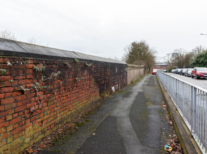
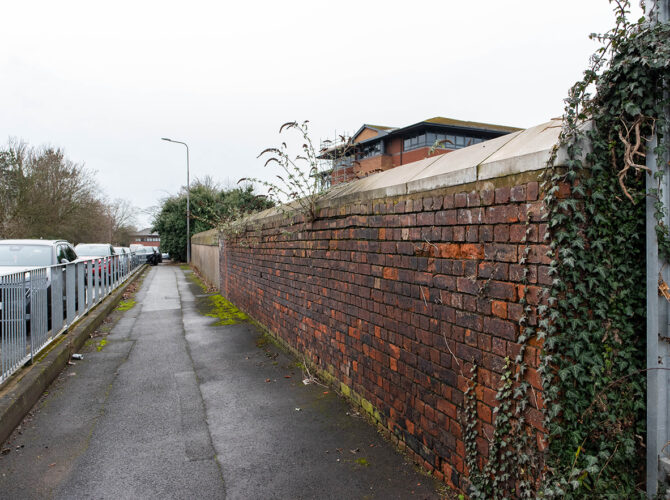
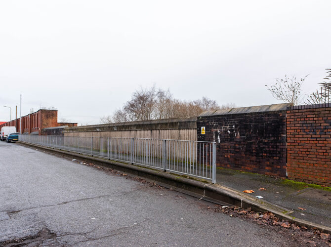
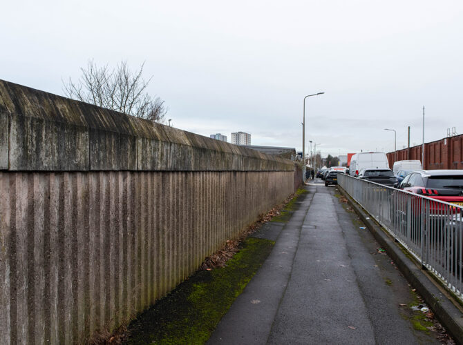
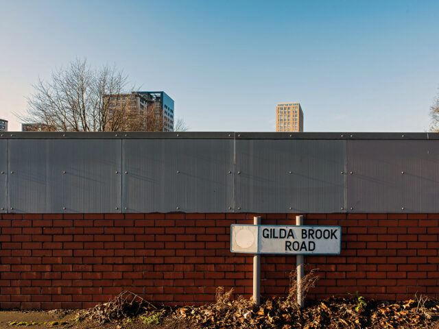
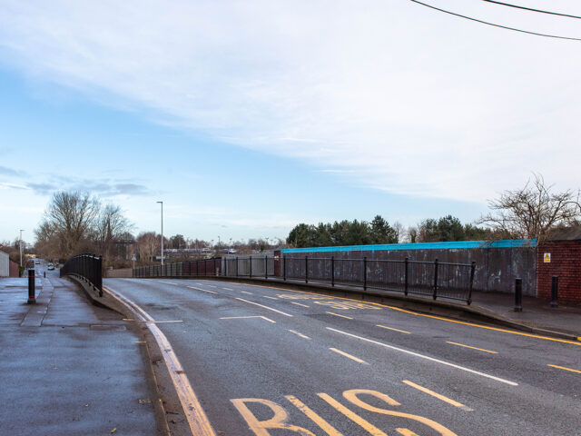
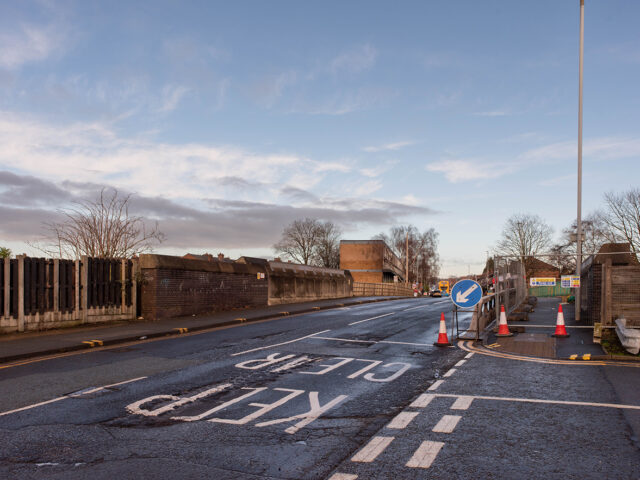
The original bridge has been replaced and little can be identified of it directly today. The road continues over the line, but the structure now in place reflects later rebuilding rather than the early railway period. The exact date of replacement is not known.
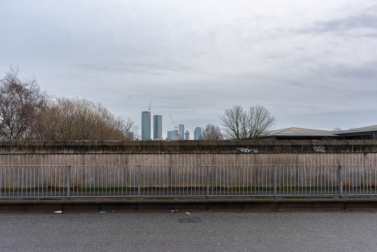
What remains is the overall form of the route. The road sits above the railway cutting, and the boundary between street and railway is defined by a continuous wall that follows the line. This gives a sense of the original arrangement even where the bridge itself has gone.
Why it matters
Jones’ Bridge No. 1 was part of the infrastructure that allowed the railway to pass through an already developing area without breaking existing routes. Early engineers needed to keep the line as level as possible, so roads were carried over it rather than allowing steep gradients or level crossings.
The grouping of bridges in this area shows how intensively connected the landscape once was. Multiple crossings served nearby streets, industry and housing, reflecting the density of early nineteenth century Salford.
Although the bridge has been replaced, the crossing still performs the same function. The railway remains below, the road above, maintaining a separation that has defined the site since the line first opened.